 |
|
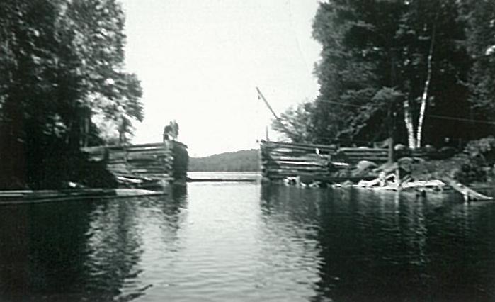
“Narrows between Bella and Rebecca Lakes before the bridge was built” (no. 1984.14.91, Muskoka Heritage Place Collection, Huntsville, Ontario)
|
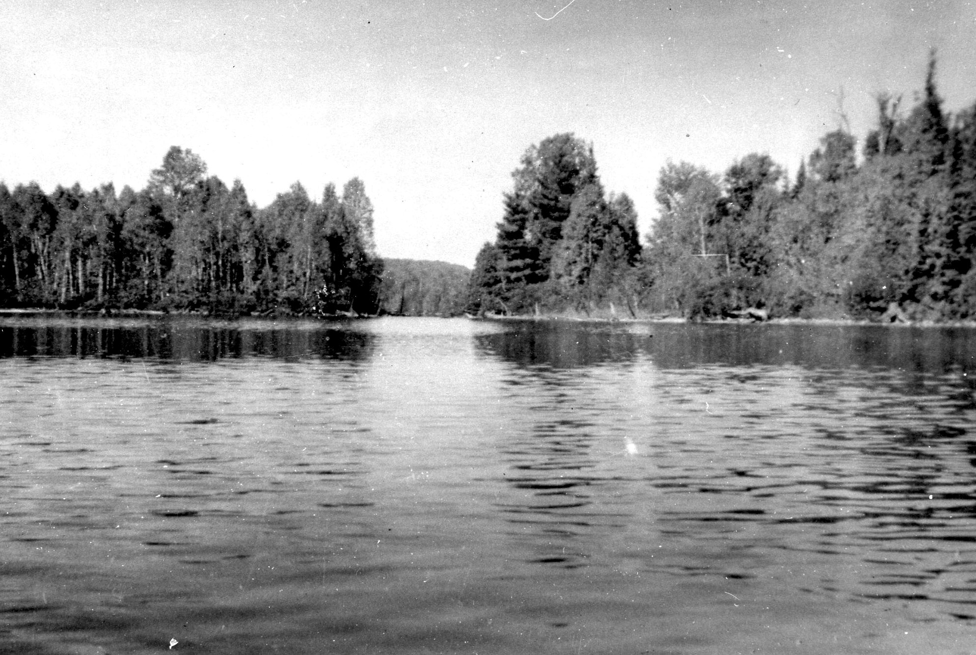
The Narrows between Bella and Rebecca Lakes was an early water pathway – an arrowhead found here in the 1930s testifies to the travels of Indigenous peoples of perhaps 2,000 years ago. Anishinaabe/Ojibwa peoples continued to use the lakes into the nineteenth century. Settlers who came to the area in the late 1800s, and the visitors who followed, also rowed or paddled through the narrows to reach lots or camps on Bella Lake.
Settlers, however, prompted roads. In 1860, in preparation for settlement, Crown Lands surveyor John Stoughton Dennis surveyed a proposed line from his chosen location on the Muskoka River that would become Huntsville to the previously surveyed Bobcaygeon Road line. Unlike the road east (Highway 60) today, his route curved to the north, crossing between two lakes that would eventually become known as Bella and Rebecca. The narrows was the least of the impediments that Dennis encountered. The terrain was far too rough for road-building, but his survey stands as a precursor to the present-day Fieldale Road that now serves cottages on both shores.
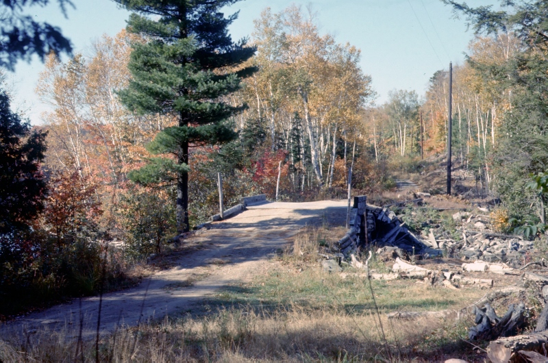
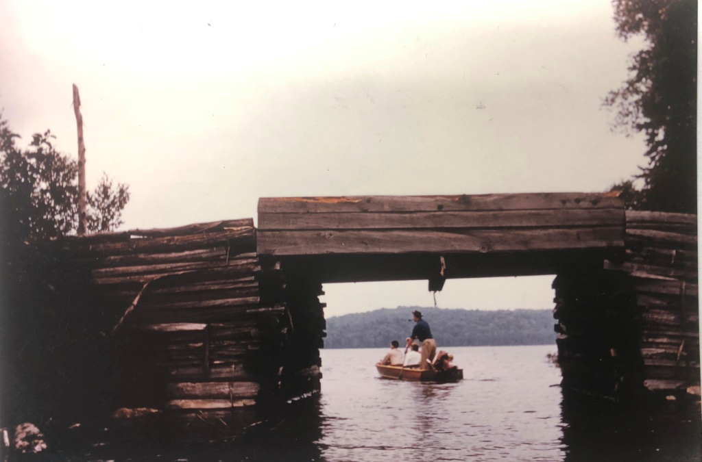
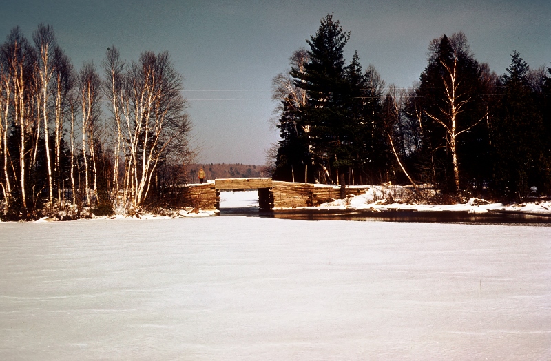
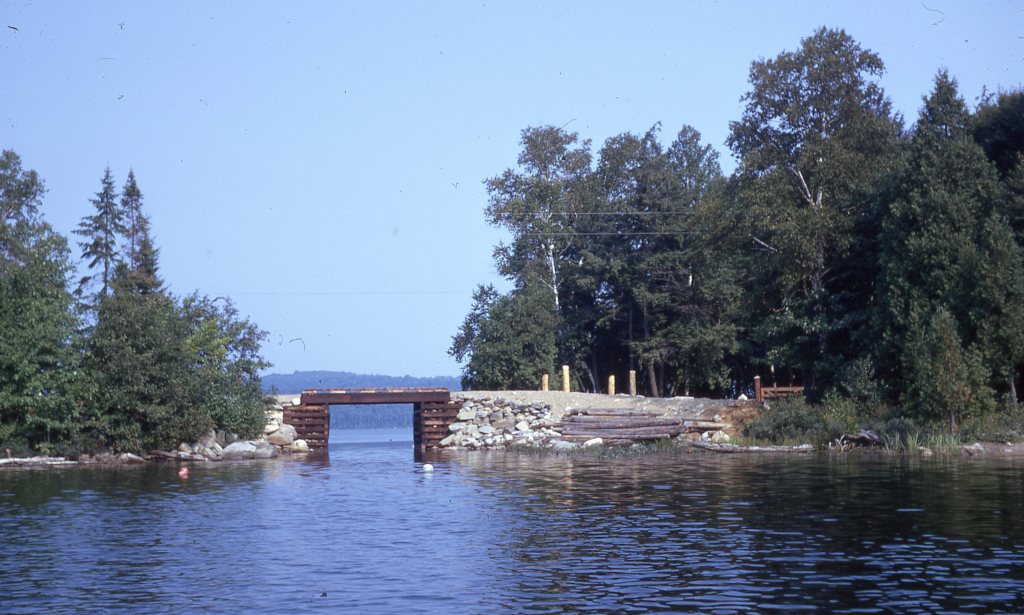
Edgar Brook, a lumberman who operated a sawmill at Kells Landing on the south-eastern tip of Rebecca Lake, built the first log bridge across the Narrows in 1949 for lumbering. Hydro was soon to follow in the early 1950s. Brook also constructed a rough track beyond the end of the existing road at Fieldale Lodge on Rebecca Lake, which became official in 1969, before the District of Muskoka was formed. In 1972, the new Township of Lake of Bays rebuilt the bridge; the higher standards required meant that the new waterway was about two feet narrower than the original.
 |
 |
|
| First bridge, winter 1959 (J. David Burgess) | “Bella-Rebecca narrows” from Rebecca Lake, 1973 (Gertrude Davis Slide Collection, Billie Bear Archive) |
The bridge deck was rebuilt in 2000, and in 2013 the township once more replaced the bridge, at a cost of $270,000, to conform to new municipal standards. In addition to being the access to the western shores of both lakes, the “Bridge” has served as a destination landmark of the Bella-Rebecca community, with many stopping to enjoy the view of each lake.
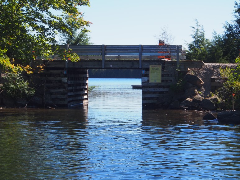 |
Second Fieldale bridge (1972-2013) from Bella Lake (J. David Burgess) | |
Sources:
Burgess, David, “Fieldale Road” (presentation at Lake of Bays Library, Dwight, October 2013).
Cooper, Martin, and Andrew Stewart, “A Brief Illustrated History of Landscape and Aboriginal Peoples in the Muskoka River Region” (presentation to Lake of Bays Heritage Foundation, August 2009).


