 |
|
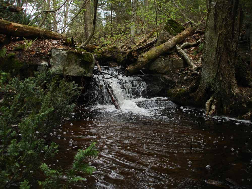
Spring waterfall at the head of Jackson Lake (Val Kremer)
|
The streams of the rock-and-swamp land in what became Sinclair Township did not offer easy navigation for early Indigenous peoples who visited the Sand and Little Sand lakes. The Big East would certainly have been travelled in spite of its many falls and rapids, especially for hunting and fishing, and Rebecca Creek, flowing out of Hutcheson Bay to the Big East, may have been a viable route. By contact times, the main travel routes followed the chain of lakes linked by branches of the Muskoka River to the south. Anishinaabe visits north for fishing and trapping followed creeks and small lakes or were made overland.
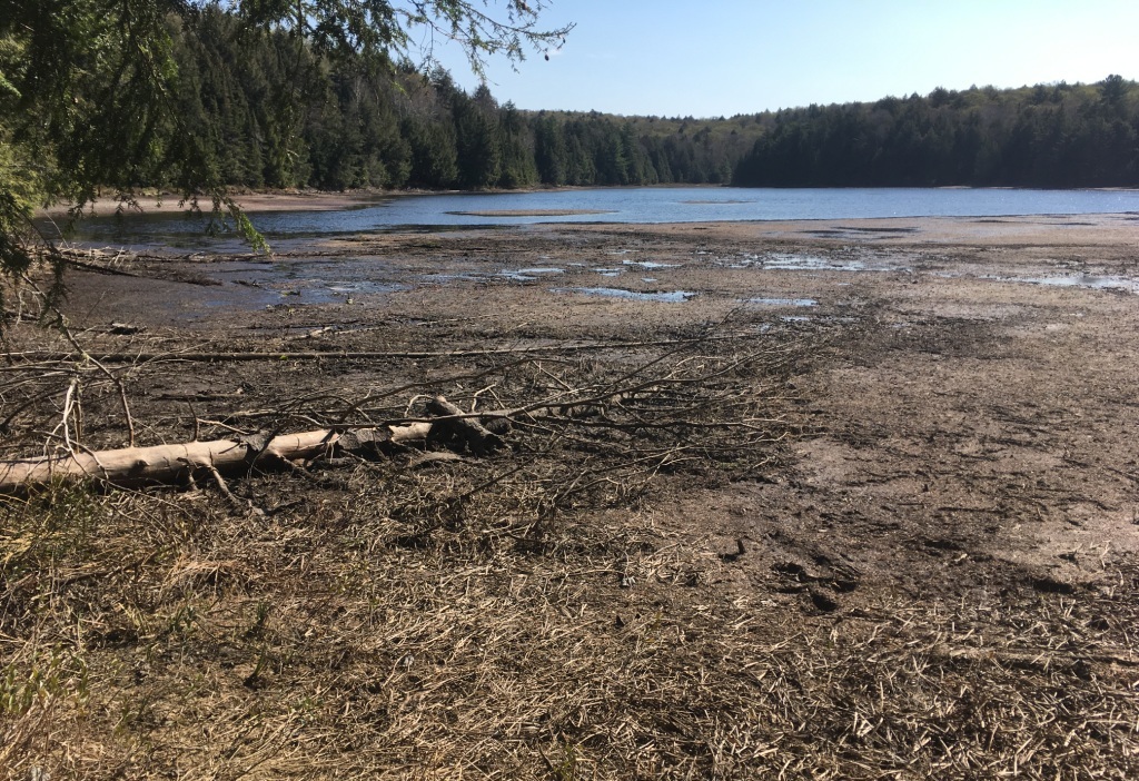
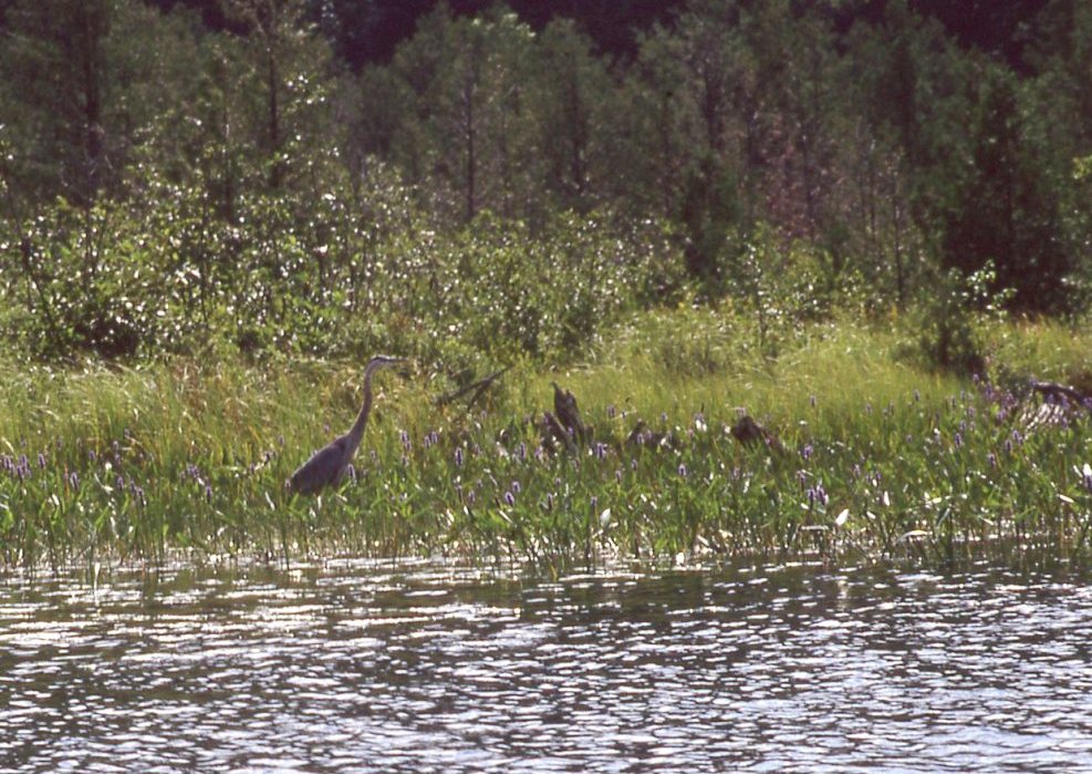
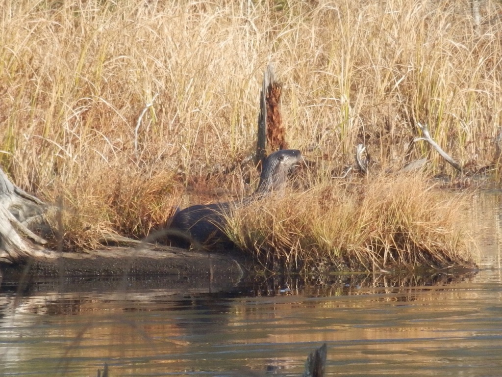
Small unnamed tributaries drain large areas of swamp and wetland surrounding Bella and Rebecca into the lakes. These wetlands are home to many northern species (both flora and fauna), some of which are at risk. The flow varies with the beaver population, sometimes taking out bridges on cottagers’ paths and laneways when an untended dam breaks. “Coca Cola Creek,” which flows into Rebecca Lake, is a typical example: it gets its name from the tannin-rich, frothy spume that races over the rocks on its way to the lake.
Rebecca Creek
Rebecca Creek, flowing out of Hutcheson Bay (Rebecca Lake), was the site of a small dam and mill race that powered James Bahen’s sawmill between 1896 and 1905. Bahen’s lots were purchased by W. E. Hutcheson in 1906 and became the site of the first “summer cottage” on the lakes, Rebecca Lodge. The surrounding cottages are still owned by branches of the family.
Nelson’s Creek
Nelson’s Creek – the name comes from settler William Nelson, who held Lots 3 and 4, Concession 5, where the stream enters Kells Bay at the southern tip of Rebecca Lake – is in fact the upper portion of Rebecca Creek, flowing from Solitaire (formerly Clear) Lake. Today, Muskoka Road 8 crosses the creek near the intersection of Fieldale Road – but this route is a deviation from that first planned by surveyor John McAree. Negotiations for the deviation were likely difficult, as the new alignment, to avoid impossibly steep hills, cut through the middle of Nelson’s lots and those held by William Swain to the east and south of Swain’s Bay.
Bravender Creek
Bravender Creek flows into the southern tip of Swain’s Bay, Bella Lake, but the settler whose name it carries held lots at the source of the creek on Loon Lake. William and Mary Jane Bravender settled on Lots 11 and 12, Concession B in 1882, and the family sold them following William’s death in 1901. The lots are now part of the Loon Lake Hunt Club property, and the old Bravender frame house was moved in about 1919 to form part of the club house.
Big East River
Sinclair Township presented myriad little lakes and streams to the eyes of settlers, but the Big East River, cutting diagonally across the township, was a prominent feature. Some settlers – including the McBriens and Jacob Hart – took up lots on the East River, perhaps noting surveyor John McAree’s observation that it offered suitable mill sites. Others who followed tended to be more interested in timber than homesteads.
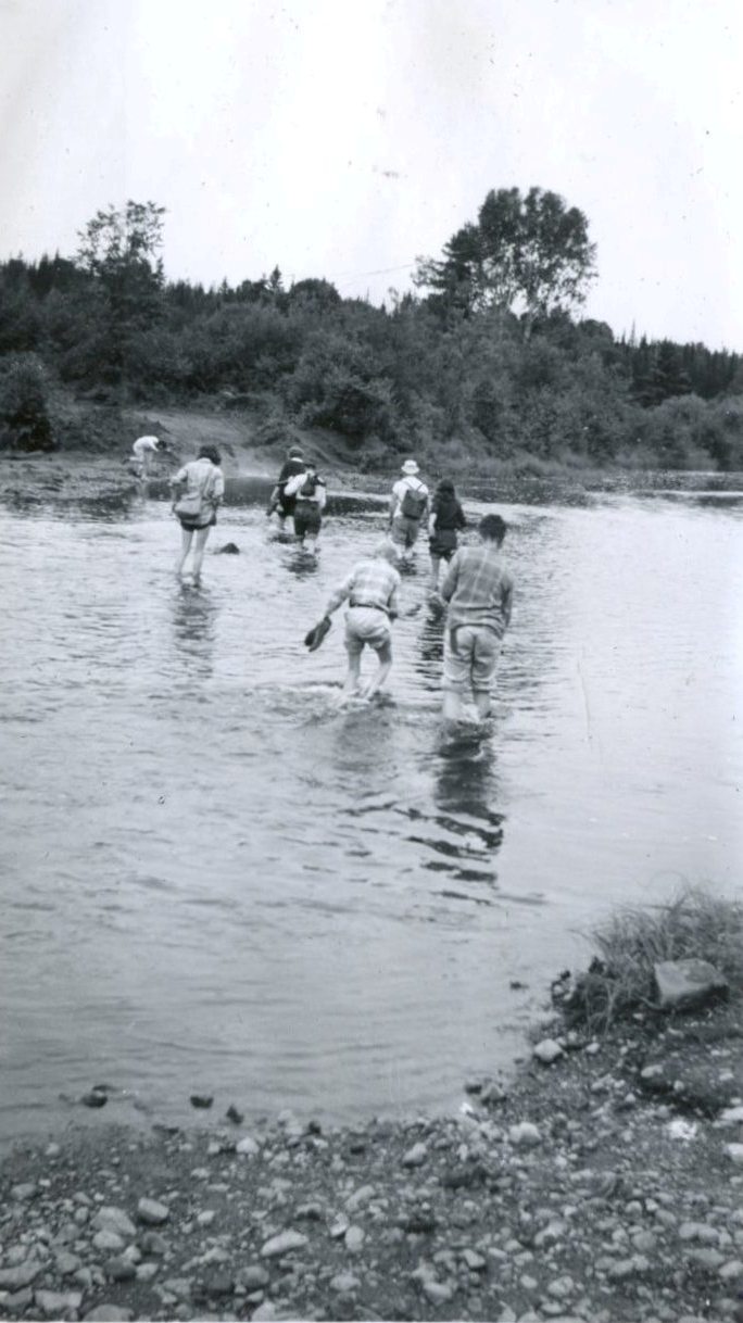
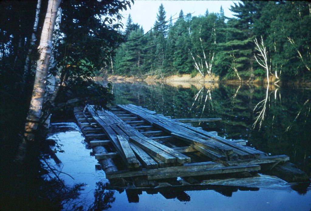
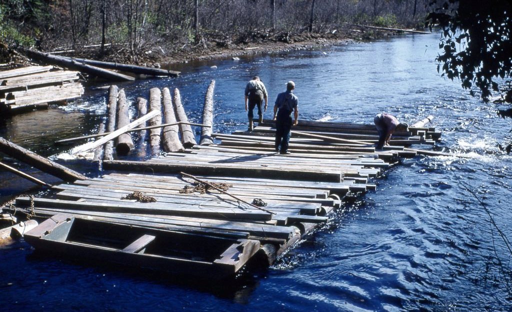
After 1896, when the railroad reached Huntsville, the Big East became an important, if difficult, route for pine and, later, hardwood logs, The Big East Improvement Company, representing the lumber companies that used the river, built and maintained dams at strategic points to control water for the log drives. Beginning in 1949, long after log trucks and roads had replaced the river drive, these dams were converted to coffer dams to control flood waters.
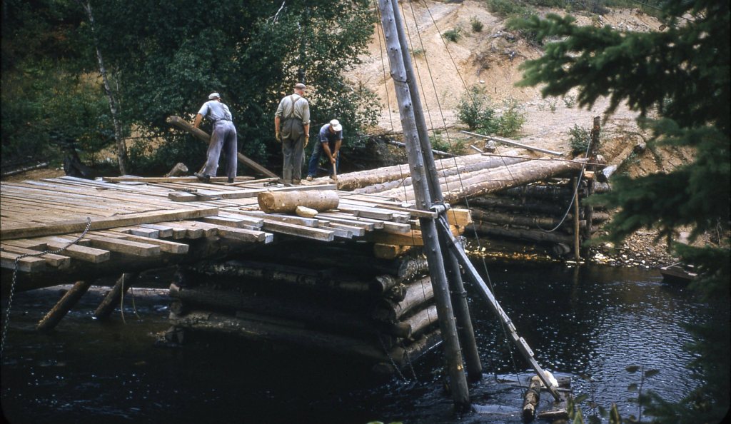
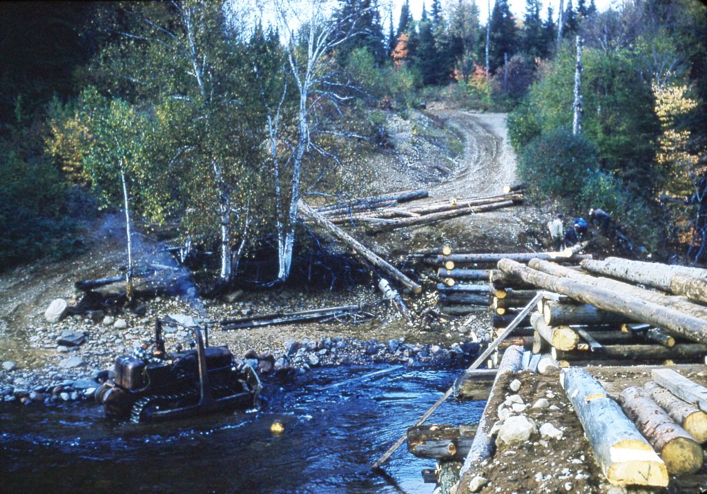
Sinclair Bridge, on the continuation of what is now the Billie Bear Road, was first built by lumberman Edgar Brook to reach his camp across the Big East. The bridge was rebuilt several times – in 1955, and again in 1960 after floodwaters of Hurricane Audrey swept it away in June 1957. Spring floods damaged the bridge again in 2013, and it was rebuilt by the Township of Lake of Bays.
Sources:
Billie Bear Photo Archive, Gertrude Davis Slide Collection.
Cooper, Martin, and Andrew Stewart, “A Brief Illustrated History of Landscape and Aboriginal Peoples in the Muskoka River Region” (Presentation to Lake of Bays Heritage Foundation, August 2009).
Mansell, W. Dan, and Carolyn Paterson, eds., Pioneer Glimpses from Sinclair Township, Muskoka (Peterborough: asiOtus Natural Heritage Consultants, Barbara Paterson Papers, 2015).
Kimmel, Wendy, personal communication, March 2019.


